
SERVICES
-
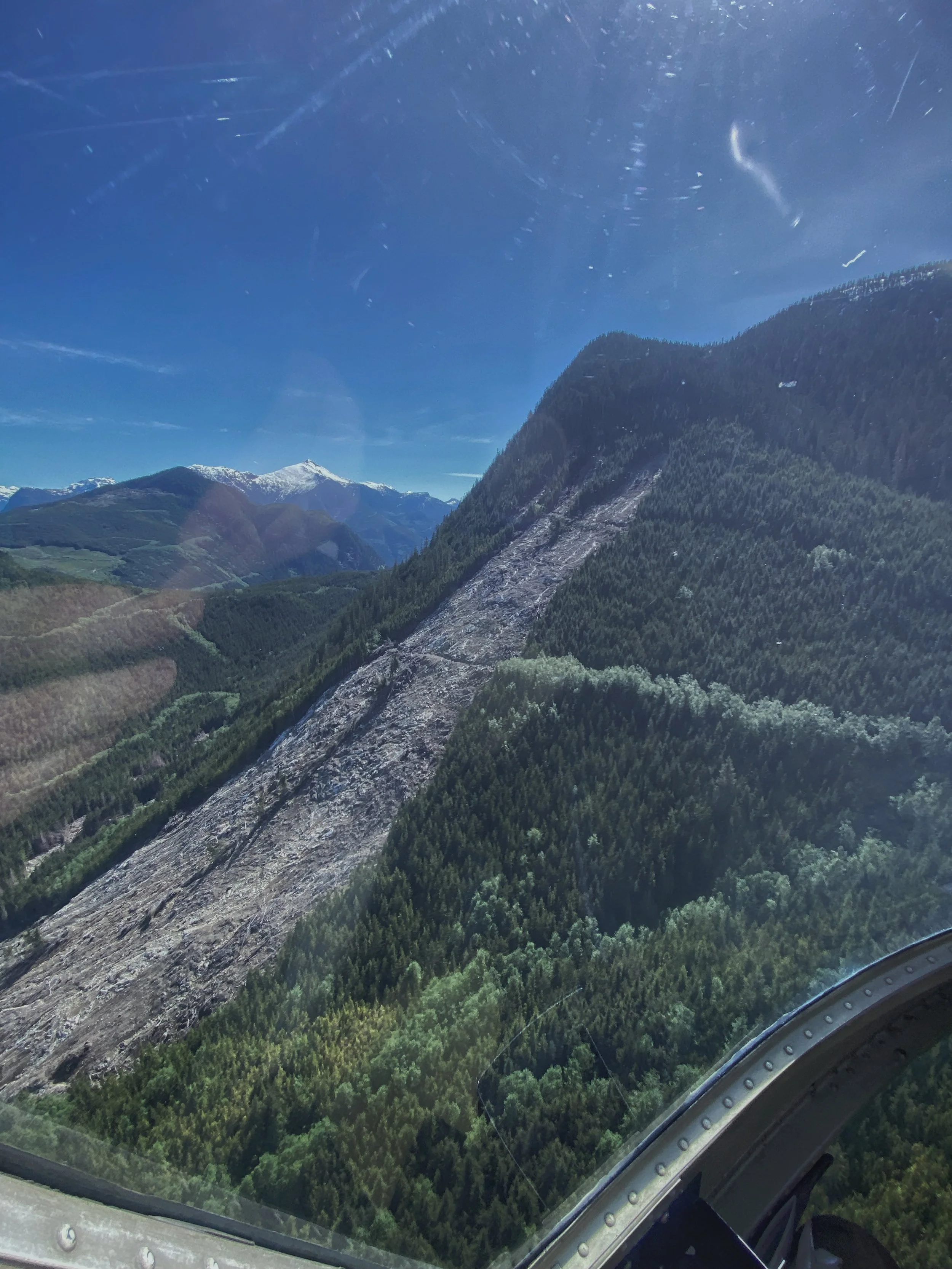
Geohazard Risk Management
•Terrain Stability Assessments (TSA)
•Hazard and risk analysis: landslides, rockfall, debris flows, floods, and snow avalanches
•Post-wildfire natural hazard & risk analysis
-

Resource Roads
•Road construction, reactivation & deactivation prescriptions
•Geotechnical & environmental monitoring
•Drainage planning & erosion control measures
-
Mapping
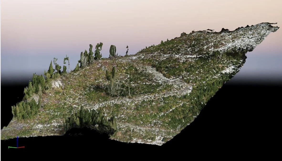
•GIS mapping and geospatial analysis
•UAV surveys and mapping
•Air photo interpretation & remote sensing
Trusted Professional Network
Maintaining strong relationships with a trusted network of geoscientists, engineers, avalanche specialists, and foresters is key when additional project support is needed. This collaborative approach ensures assessments are thorough, recommendations are sound, and deliverables meet the highest standards.
CONTACT
dkallai@facetgeo.com
(778) 679 5076
